I have made complete maps of the outside area's and the cities, to print
them and make notes on them (since the 'terrific' automap function doesn't
support notes (or zoom, or scroll, or ...)). For the ease of printing I have
converted them to grayscale (the colors were not functional, so why spend more
expensive ink), and brightened them.
They are in .png format, because that supports grayscale images and compresses
better than gif. They are still pretty large though (up to 490 KB). If your browser
doesn't support png files, you might download them and view/print them in a photo program.
(use e.g. Irfanview,
a freeware image viewer).
Other sites offer indexed maps, usually as part of a walkthrough. These maps you can use without getting spoiled, and to keep track of where you've already been.
| city | country |
|---|---|
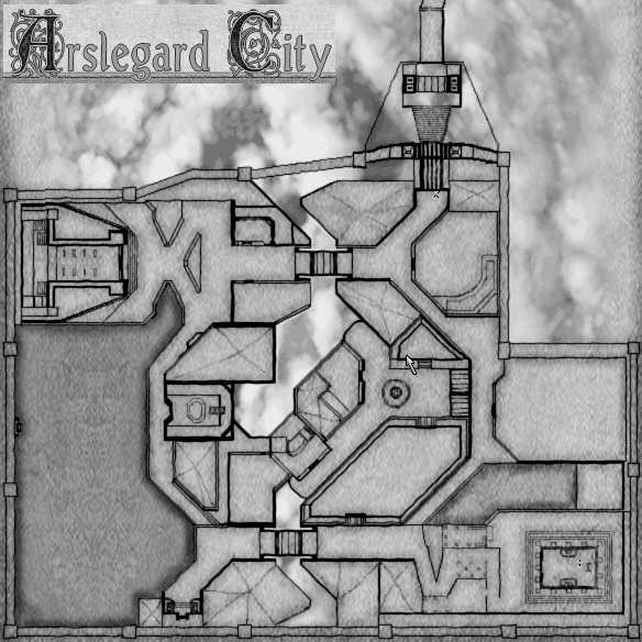
| Arslegard (264KB) | |
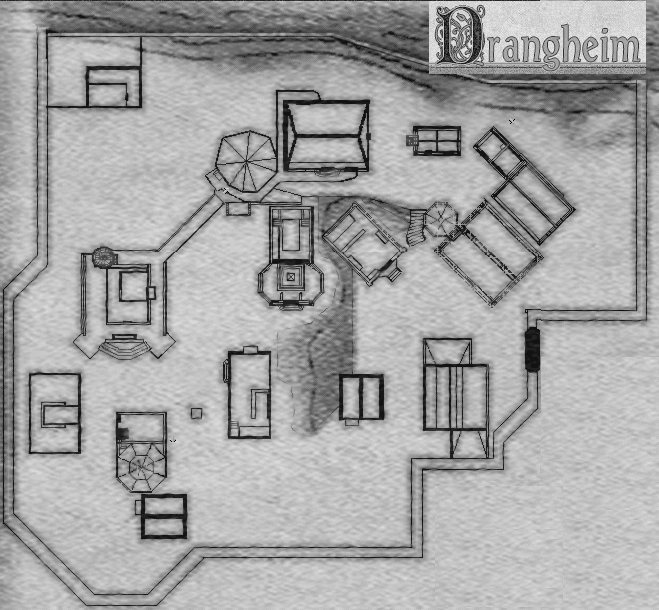
| Drangheim (280KB) | Drangheim (205KB) |
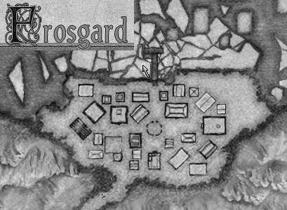
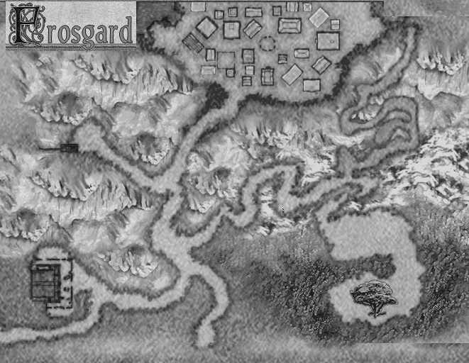
| Frosgard (103KB) | Frosgard (260KB) |
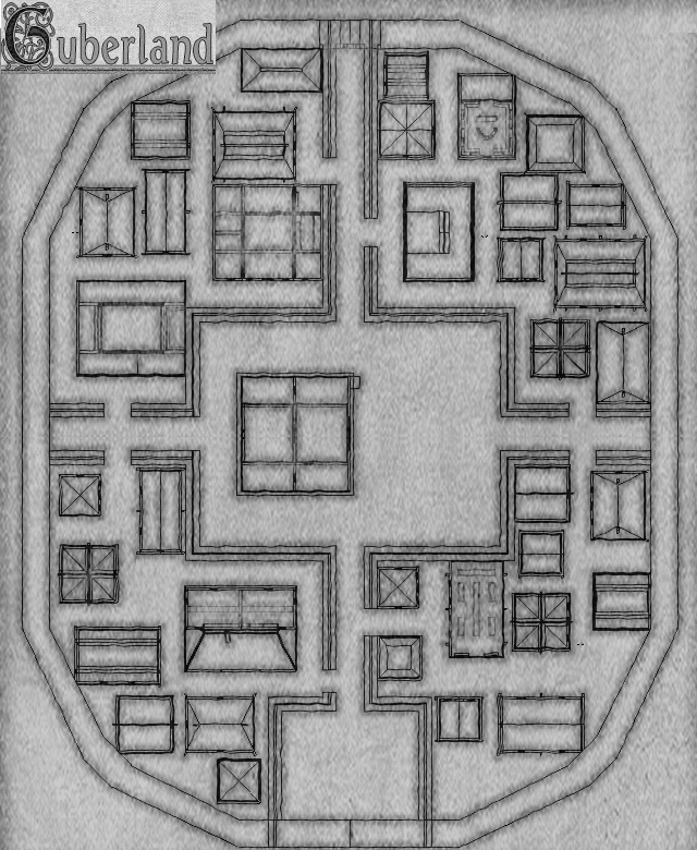
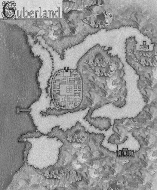
| Guberland (406KB) | Guberland (269KB) |
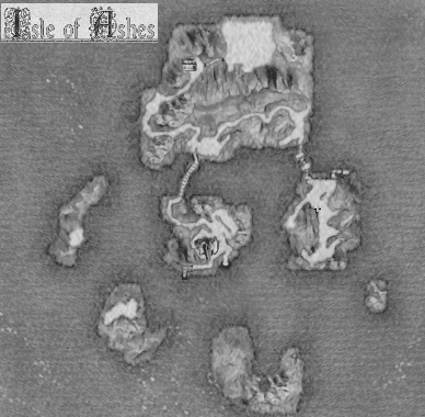
| Isle of Ashes (108KB) | |
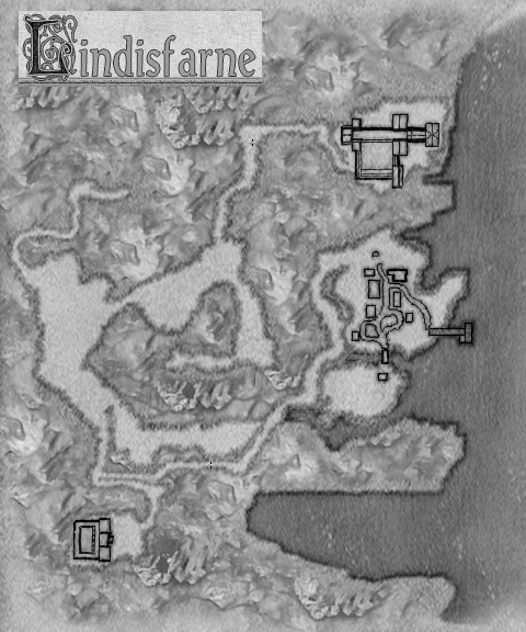
| Lindisfarne (234KB) | |
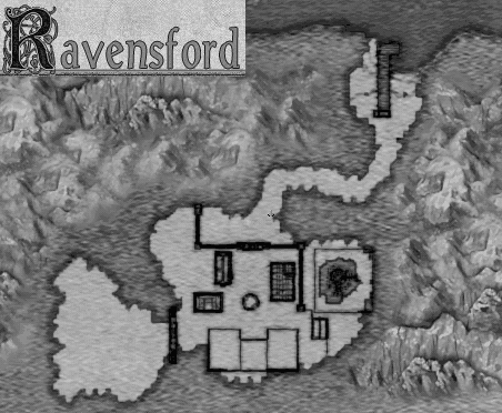
| Ravensford (132KB) | |
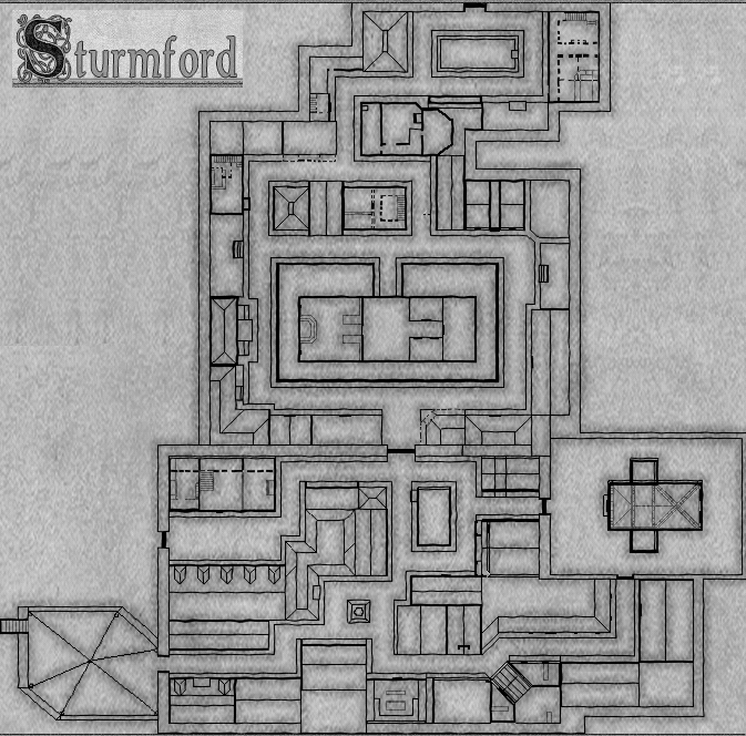
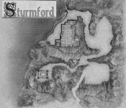
| Sturmford (332KB) | Sturmford (182KB) |
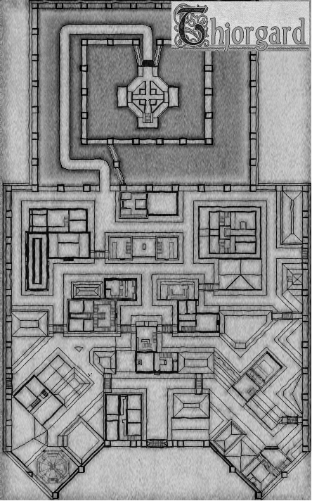
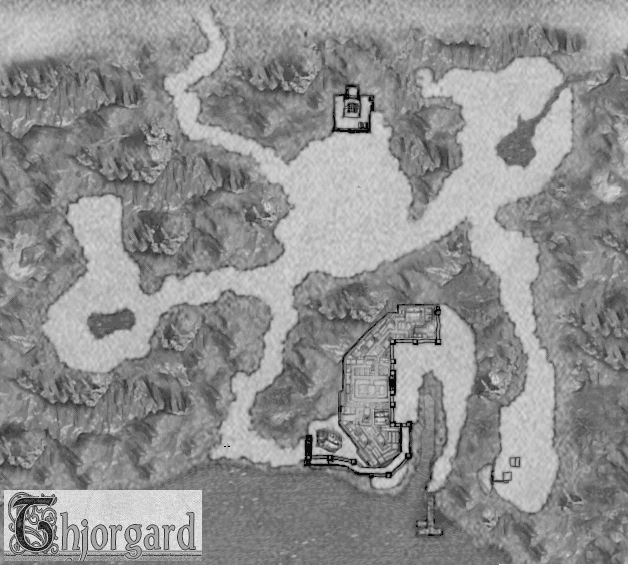
| Thjorgard (259KB) | Thjorgard (283KB) |
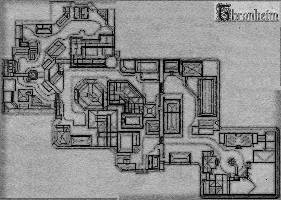
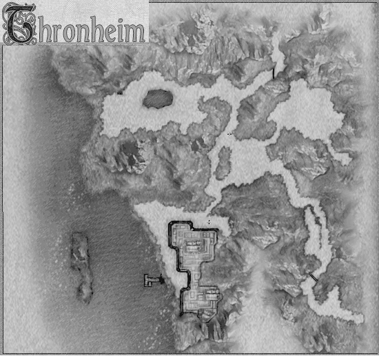
| Thronheim (490KB) | Thronheim (229KB) |
| Yorwick (258KB) |